Emergency Services
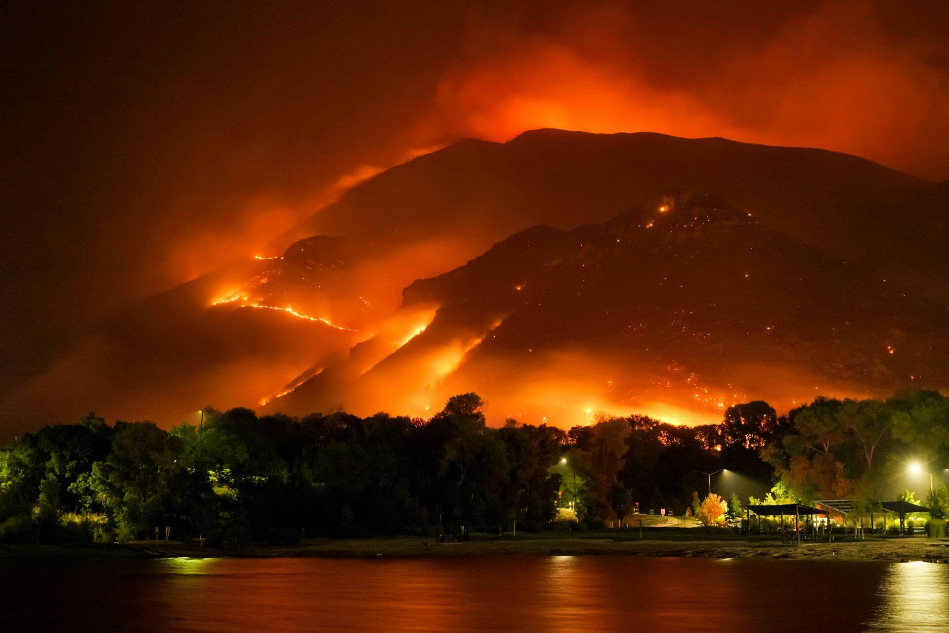
Geospatial intelligence for disaster preparedness and response. When emergencies strike, real-time geospatial data is critical for rapid response and risk mitigation. We provide spatial solutions that support emergency services, natural hazard management, and disaster planning.Our expertise includes bushfire risk assessment and modelling, emergency mapping, emergency weather and incident alert systems, and operational GIS tools:We developed the Portable Access Weather Station (PAWS) Viewer which is used by the Parks and Wildlife services across ACT, NSW and TAS, delivering to fire controllers [...]