web_admin

About web_admin

This author has not yet filled in any details.
So far web_admin has created 14 blog entries.

Dulverton Waste Management

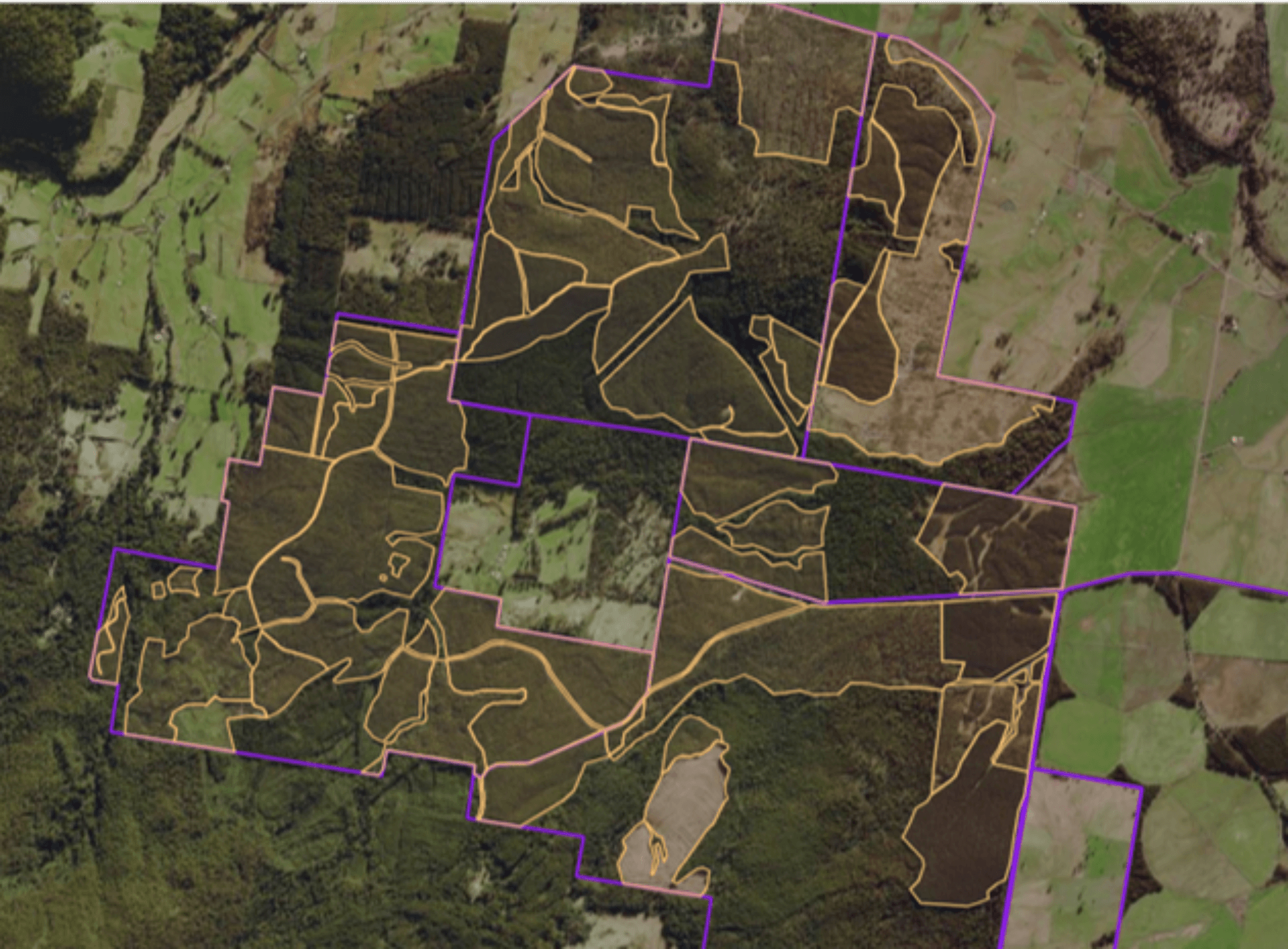
Waste Management Dulverton Learn more About Client Dulverton Waste Management Dulverton Waste Management (DWM) provide environmentally sustainable landfill and organics recycling services for industrial and public sector clients across Tasmania. Lorem ipsum dolor sit amet, consectetur adipiscing elit. Lorem ipsum dolor sit amet, consectetur adipiscing elit. Lorem ipsum dolor sit amet, consectetur adipiscing elit. About the project Lorem ipsum dolor sit amet, consectetur adipiscing [...]

2024-04-05T16:12:20+11:00

Maria Island

Convict Landscapes Maria Island Try Now! About the project A project that accurately portrays the historical and archaeological information concerning Maria Island. This involved meticulous research and collaboration with experts to accurately map out all known structures, work sites, and connections to the past, presenting them in a user-friendly manner. Top Features Storytelling andInterpretation The Maria Island mapping portal utilises interactive story tours and 360-degree imagery to immerse visitors [...]

2024-03-28T15:52:08+11:00

Recreational assets and planning

Optimise your public assets and investment strategies with Esk Spatial's GIS solutions Are you struggling to keep track of the maintenance needs for your organisation's public assets, including playgrounds, football ovals, netball courts, cricket pitches, and mountain bike trails? Or maybe you need help with investment tracking, special projects and planning, then Esk Spatial's GIS technology can help. Our GIS solutions provide detailed maps and usage patterns for all types of public assets, allowing you to plan for maintenance and [...]

2023-05-02T11:24:51+11:00

Tourism and regional dispersal

How GIS is revolutionising dispersal analysis and investment attraction. If you manage a local tourism destination, it's crucial to understand how visitors disperse throughout the area. With the power of GIS technology, Esk Spatial can help you gain a deeper understanding of regional tourism dispersal and identify patterns and trends that can inform decision-making. By leveraging GIS data, you can gain insights into visitor behavior, including where they come from, how long they stay, and where they go within [...]

2023-05-04T10:20:01+11:00

Volumes, measurement and excavation

Drone-based measurement with GIS is amazing. Faster, more accurate and affordable. Are you looking for a faster and more economic way to understand volumes, stockpiles, and excavation on your site? Consider aerial drone measurement, coupled with GIS technology.With drone-based measurement, you can quickly capture high-resolution images of your site, which can then be processed into 3D models and point clouds. This data can then be loaded into a GIS system for further analysis and management.Using this technology, you can accurately [...]

2023-05-01T17:16:24+11:00

Property Management

Property planning with GIS is affordable, geographically accurate and fast. Esk will revolutionise your next project. Looking to make property planning and development fast, easy and accurate? Esk Spatial can help you harness the power of GIS technology for your development needs. From farm planning to asset management, with our GIS expertise, you can create a comprehensive view of your property, enabling data-driven decisions for your development plans. Our GIS technology makes it easy to analyse and visualise large amounts [...]

2023-05-04T10:23:21+11:00

Conservation and riparian zones

Let GIS accelerate planning and management for better environmental outcomes. GIS technology can be a powerful tool for planning and managing riparian zones and other sensitive areas. GIS provides spatial data and analysis capabilities that can help managers develop targeted strategies to mitigate the effects of human activity on natural systems.With GIS, you can create detailed maps of riparian zones and other sensitive areas, identify areas that are particularly vulnerable to degradation or destruction, and develop targeted management strategies for [...]

2023-05-01T16:28:08+11:00

Cemeteries and historic sites

Streamline the management of historic sites and cemeteries with Esk Spatial's GIS technology If you're an organisation responsible for managing historic sites and cemeteries, Esk Spatial can help you to streamline your management processes and ensure the preservation of these important places. Our GIS (Geographic Information System) technology can help you to collect, manage and visualise large amounts of data about the sites and cemeteries, making it easy to monitor their condition, plan maintenance and upkeep, and ensure their long-term [...]

2023-05-01T16:20:38+11:00

Agriculture and Aquaculture

Precision agriculture starts with Esk. Let us help you get started. If you're a farmer or agronomist, Esk Spatial can help you leverage the power of GIS (Geographic Information System) technology to support your precision agriculture needs. With our GIS expertise, you can collect, manage, analyse and visualise large amounts of data from different sources, such as soil samples, weather stations, crop yields, and satellite imagery.Our GIS technology can create high-resolution maps of soil characteristics, topography, and vegetation, helping you [...]

2023-05-01T16:06:51+11:00

Town Planning and development

Let Esk Spatial assist your next development As a town planner or developer, you understand the importance of making informed decisions when it comes to land use and development. That's where GIS comes in - it provides a powerful tool for mapping and analysing data to support your planning and decision-making processes. With GIS technology, you can visualise complex information and data sets, from topography and land use to population density and environmental factors. This enables you to identify potential [...]

2023-05-01T17:06:29+11:00
Go to Top