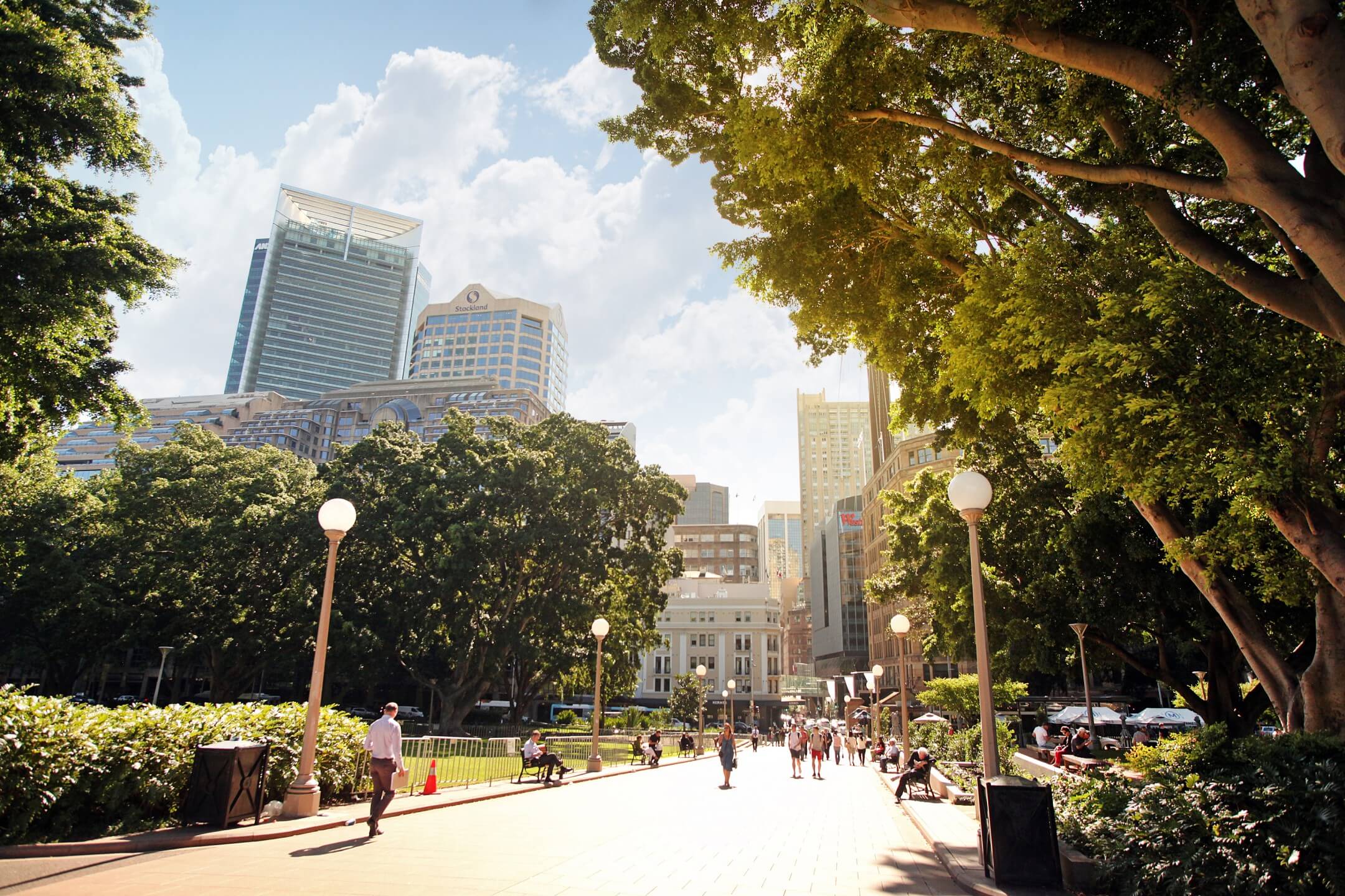
Urban Greening
Creating sustainable and liveable urban environments with the muscle of GIS GIS, or Geographic Information System, is a powerful tool for managing and visualising spatial data. In urban greening, GIS can be used to map out existing green spaces, identify areas that could benefit from additional greenery, and plan the most effective placement of new trees and vegetation.With the help of GIS technology, town planners, landscape architects, and other urban greening professionals can analyse data such as soil types, water [...]


