
Who are Esk Spatial and how can we help you?
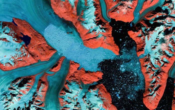
Esk Spatial is one of Australia’s leading geospatial solutions provider, empowering industries with cutting-edge technology and expert insights. From forestry and carbon to government and utilities, we transform complex spatial data into actionable intelligence – helping you describe your assets better, optimise operations, drive efficiency, and make smarter decisions. Partner with us to unlock the full potential of your geospatial investment. Discover how Esk Spatial can help your organisation today.
Geospatial Solutions Driving Smarter Decisions
Discover how our technology and services are driving impact across industries – here are some examples of our work
Planning & Development
Smart spatial solutions for sustainable urban and regional planning Effective planning and development require accurate spatial intelligence. We empower governments, planners, and developers with high-quality mapping, risk assessments, and spatial analysis to drive well-informed decisions[...]

Asset Management
Reliable data for better infrastructure and asset decisions. Infrastructure and asset management rely on accurate, well-structured spatial data. We help councils, utilities, and government agencies manage and maintain critical assets through advanced data preparation,GIS applications,[...]

Technology and Strategic Advisory
Empowering organisations with smarter geospatial strategies and technology. Digital transformation is reshaping how organisations leverage geospatial technology. Our Technology & Strategic Advisory services help clients plan, implement, and optimise their GIS ecosystems for long-term success.We[...]
National leaders in Forest and Carbon
Supporting your journey through forestry & carbon, and natural capital markets
Esk Spatial is a trusted leader in the Forest and Carbon sector, offering innovative solutions that drive sustainability and efficiency. From forest mapping and forest management system implementation to forest growth modelling and carbon project support, our expertise ensures that your forest estate is optimised for both environmental and financial success. We specialise in data management, remote sensing, and FullCAM modelling to help clients navigate complex carbon projects.
Our strategic advisory services are backed by a team of 7 who all have two to three decades of experience in the forestry industry, and cover everything from stand mapping to plantation suitability and fire behaviour modelling to forest infrastructure planning and strategic harvest modelling.
At Esk Spatial, we transform data into actionable intelligence, empowering clients to make informed decisions that protect and grow their natural capital for the future.


