
Who are Esk Spatial and how can we help you?
Esk Spatial is one of Australia’s leading geospatial solutions provider, empowering industries with cutting-edge technology and expert insights. From forestry and carbon to government and utilities, we transform complex spatial data into actionable intelligence – helping you describe your assets better, optimise operations, drive efficiency, and make smarter decisions. Partner with us to unlock the full potential of your geospatial investment. Discover how Esk Spatial can help your organisation today.
Geospatial Solutions Driving Smarter Decisions
Discover how our technology and services are driving impact across industries – here are some examples of our work

Remote Sensing
Unlocking deeper insights through aerial and satellite data. Remote sensing is revolutionising how industries monitor, assess, and manage landscapes. Our advanced aerial, drone, and satellite imaging solutions provide high-precision data for forestry, government, and environmental[...]
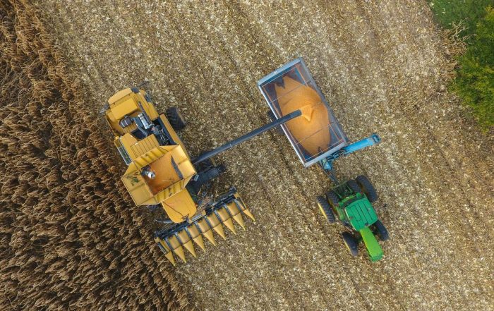
Precision Agriculture
Innovative geospatial tools for smarter farming decisions. Agriculture thrives on precision, and our geospatial solutions help farmers and agribusinesses optimise land use, improve yields, and ensure environmental sustainability. Our seed isolation system enables growers to[...]
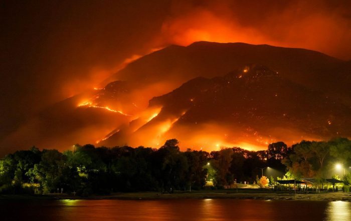
Emergency Services
Geospatial intelligence for disaster preparedness and response. When emergencies strike, real-time geospatial data is critical for rapid response and risk mitigation. We provide spatial solutions that support emergency services, natural hazard management, and disaster planning.Our[...]
National leaders in Forest and Carbon
Supporting your journey through forestry & carbon, and natural capital markets
Esk Spatial is a trusted leader in the Forest and Carbon sector, offering innovative solutions that drive sustainability and efficiency. From forest mapping and forest management system implementation to forest growth modelling and carbon project support, our expertise ensures that your forest estate is optimised for both environmental and financial success. We specialise in data management, remote sensing, and FullCAM modelling to help clients navigate complex carbon projects.
Our strategic advisory services are backed by a team of 7 who all have two to three decades of experience in the forestry industry, and cover everything from stand mapping to plantation suitability and fire behaviour modelling to forest infrastructure planning and strategic harvest modelling.
At Esk Spatial, we transform data into actionable intelligence, empowering clients to make informed decisions that protect and grow their natural capital for the future.


