About Client
Dulverton Waste Management
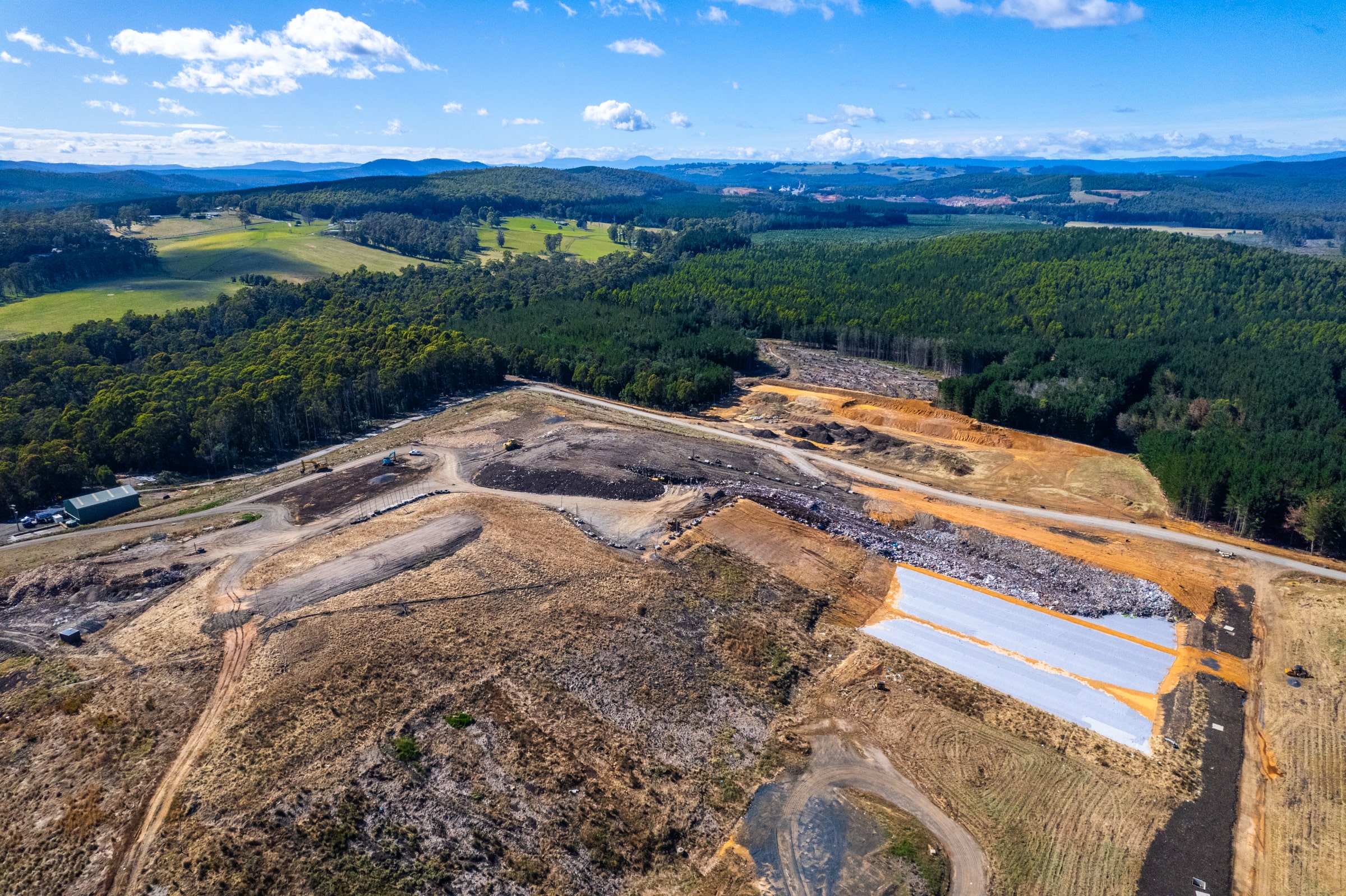
Dulverton Waste Management (DWM) provide environmentally sustainable landfill and organics recycling services for industrial and public sector clients across Tasmania.
About the project
Lorem ipsum dolor sit amet, consectetur adipiscing elit, sed do eiusmod tempor incididunt ut labore et dolore magna aliqua. Ut enim ad minim veniam, quis nostrud exercitation ullamco laboris nisi ut aliquip ex ea commodo consequat. Duis aute irure dolor in reprehenderit in voluptate velit esse cillum dolore eu fugiat nulla pariatur. Excepteur sint occaecat cupidatat non proident, sunt in culpa qui officia deserunt mollit anim id est laborum.

Feature Highlights
3D Map
Functionality
The 3D map functionality in the Dulverton waste management site app provides an immersive and detailed representation of the site’s layout, enabling better planning, optimization, and resource allocation for waste management processes.
Drone
Imagery
Incorporating drone imagery into the app offers regular and cost-effective monitoring, high-resolution aerial views, and the ability to track progress, document changes, and ensure compliance with environmental regulations.
Data
Catalogue
Acts as a central hub for storing all waste management data, including site plans, drone images, historical records, and environmental monitoring. This ensures easy access to the latest information for all personnel, fostering collaboration and data-driven decision-making.
Problems Solved
3D Map Functionality
Traditional 2D maps lack depth, making it difficult to visualize complex, ever-changing waste sites, leading to inefficient planning and potential safety issues.
Solutions
Measurement Tool
Manual measurements are prone to human error and time-consuming, hindering accurate inventory management and waste volume tracking.
Solutions
Underground Assets
Lack of awareness of underground infrastructure like pipes and cables poses a risk of accidental damage during excavation, causing delays and potential safety hazards.

