
Who are Esk Spatial and how can we help you?
Esk Spatial is one of Australia’s leading geospatial solutions provider, empowering industries with cutting-edge technology and expert insights. From forestry and carbon to government and utilities, we transform complex spatial data into actionable intelligence – helping you describe your assets better, optimise operations, drive efficiency, and make smarter decisions. Partner with us to unlock the full potential of your geospatial investment. Discover how Esk Spatial can help your organisation today.
Geospatial Solutions Driving Smarter Decisions
Discover how our technology and services are driving impact across industries – here are some examples of our work
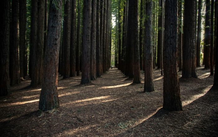
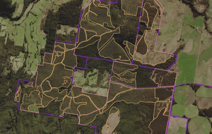
Forest, Fire and Cartage Modelling
Data-driven insights for smarter, sustainable forest management. Effective forestry management relies on accurate data and predictive modelling. Our forestry modelling solutions have dealt with greenfield plantation capability and suitability mapping, fire behaviour modelling and forestry[...]
Carbon Project Support
Optimising carbon outcomes with precision modelling and expert guidance. Navigating the complexities of ACCU Scheme projects requires precise data, regulatory expertise, and strategic insights. Our Carbon Project Support services help organisations assess, manage, and optimise[...]
Forest Acquisition, Sale and Valuation Support
Minimising risk, maximising value for forest asset investment and divestment Investing in forest assets demands thorough analysis and strategic foresight. Our acquisition due diligence services provide investors, landowners, and forestry managers with comprehensive assessments that[...]
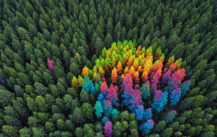
National leaders in Forest and Carbon
Supporting your journey through forestry & carbon, and natural capital markets
Esk Spatial is a trusted leader in the Forest and Carbon sector, offering innovative solutions that drive sustainability and efficiency. From forest mapping and forest management system implementation to forest growth modelling and carbon project support, our expertise ensures that your forest estate is optimised for both environmental and financial success. We specialise in data management, remote sensing, and FullCAM modelling to help clients navigate complex carbon projects.
Our strategic advisory services are backed by a team of 7 who all have two to three decades of experience in the forestry industry, and cover everything from stand mapping to plantation suitability and fire behaviour modelling to forest infrastructure planning and strategic harvest modelling.
At Esk Spatial, we transform data into actionable intelligence, empowering clients to make informed decisions that protect and grow their natural capital for the future.


